
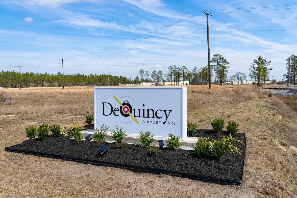
Choose The DeQuincy Airport
BEST FUEL PRICES AND CONVENIENCE
our airport's most
Requested
Information
Location Information for 5R8
Coordinates:
N30°26.46′ / W93°28.42′
Located 02 miles SW of DeQuincy, LA on 79 acres of land.
Surveyed Elevation:
82 feet MSL
Magnetic Variation from 2010: 2° East
Airport Communications
AWOS-3PT:
121.2
337-786-1518
LAKE CHARLES APPROACH:
119.35 282.3
LAKE CHARLES DEPARTURE:
119.35 282.3
UNICOM:
122.800
CTAF:
122.800
AWOS-3PT at UXL (19.3 S):
118.175
337-558-5321
AWOS-3 at CWF (22.0 SE):
120.0
337-436-3452
ATIS at CWF (22.0 SE):
120.0
Services
Available
FUEL:
100LL (blue)
$4.24 / Gallon
(as of 5/8/2025)
24/7 SELF-SERVICE FUEL WITH CREDIT CARD.
TRANSIENT STORAGE:
Hangars, Tiedowns
AIRFRAME REPAIR:
AVAILABLE FOR EMERGENCIES, CONTACT AIRPORT MANAGER FOR DETAILS
ENGINE REPAIR:
AVAILABLE FOR EMERGENCIES, CONTACT AIRPORT MANAGER FOR DETAILS
BOTTLED OXYGEN:
NONE
BULK OXYGEN
NONE
OTHER SERVICES:
Crop-Dusting Services
About Us
The DeQuincy Industrial Airpark (5R8) is located 2 miles southwest of the City of DeQuincy in the northern part of Calcasieu Parish and is the approximate midpoint between Houston and Baton Rouge.
Calcasieu Parish is experiencing high levels of growth and several large development projects in the area have resulted in increased utilization of the airport and new jobs for the local economy.
The airport is home to more than a 16 Based Aircraft all single engine and there is room to build new hangars, attract additional activity, and to continue to contribute to the Louisiana Aviation System.
our airport
Partners


Our Mission
Formed to serve as a critical stopping point in SWLA. Today the airport provides fuel and beautiful airfield to serve all types of aircraft and pilots.
Links